Benefits of GIS Mapping
Definition and Overview Geographic Information System (GIS) is a powerful tool that lets professionals capture, store, analyse and manage spatial data. In addition, this GIS
Definition and Overview Geographic Information System (GIS) is a powerful tool that lets professionals capture, store, analyse and manage spatial data. In addition, this GIS

We live in an interconnected world, which makes it easier to travel, trade, and share cultures, technology, and more. But to make everything run efficiently
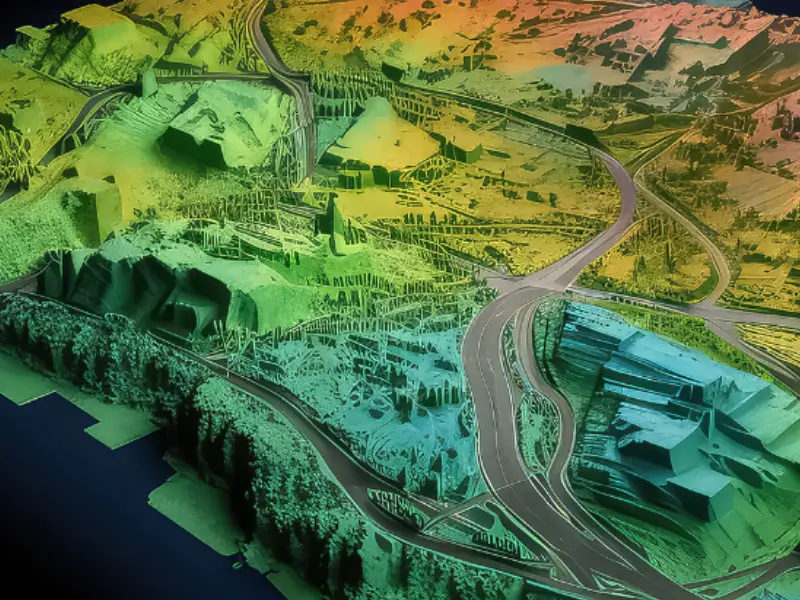
First things first; let’s try to understand what a terrain is. A terrain represents the physical features of an area of land. It includes elevation,

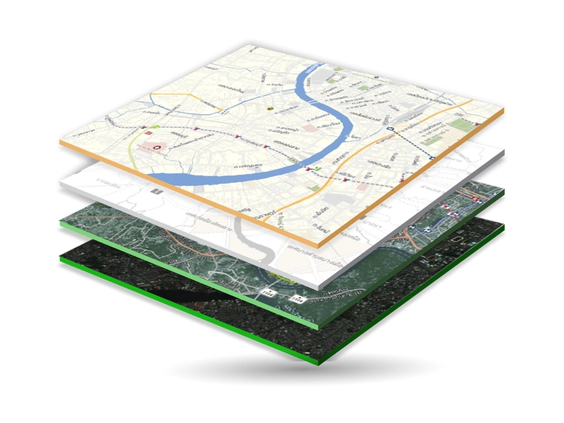
Geographic Information Systems (GIS) is a technology that enables the capture, storage, analysis and visualization of spatial and geographic data. It integrates several data types

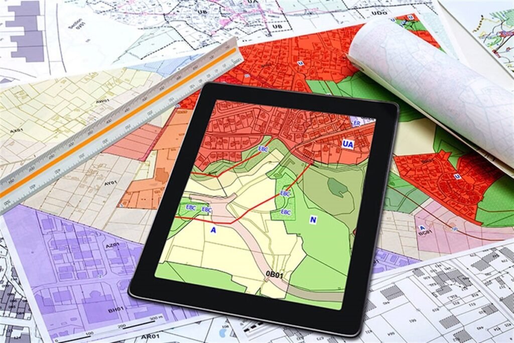
For any system to work effectively, accurate data representation is crucial and the same is the case with Geographic Information Systems (GIS). In GIS, the

We live in a data-driven world where almost everything is measured and analysed as per certain needs and requirements. Geospatial information or data also helps

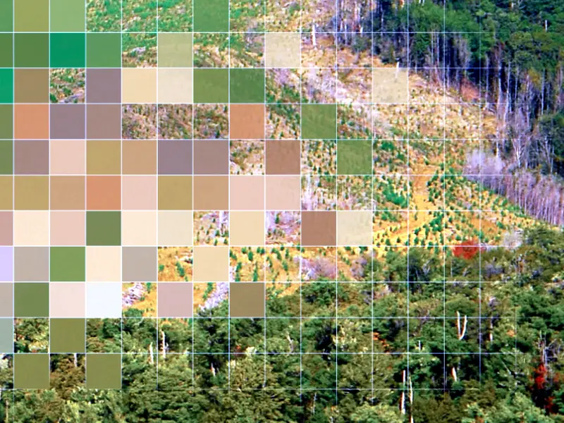
Raster data plays a crucial role in Geographic Information Systems (GIS), representing and analysing spatial information. This article aims to explore the structure, types and
Preserving historical documents remains a crucial endeavour. Cartographic hardcopy maps, essential for historical and geographical research, stand as a testament to the past’s exploration and
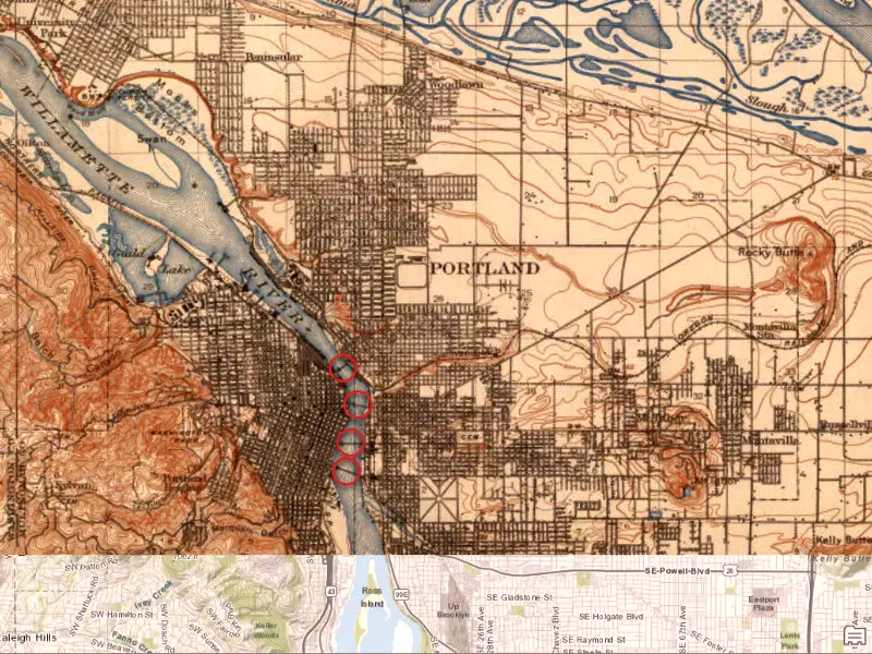
Preserving historical maps is a crucial task in maintaining our cultural and historical heritage for future generations. These maps offer invaluable insights into the geographical,
The cutting edge technology of remote sensing is quickly evolving. Soon, we’ll be using remote sensing predictive analysis powered by satellites, photogrammetry, and LiDAR technology