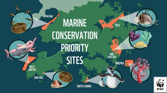
Application of GIS in Fisheries
Geographic Information Systems (GIS) have become essential tools when it comes to fisheries, providing an innovative approach towards aquatic ecosystem management and improving fishery productivity
Geographic Information Systems (GIS) have become essential tools when it comes to fisheries, providing an innovative approach towards aquatic ecosystem management and improving fishery productivity
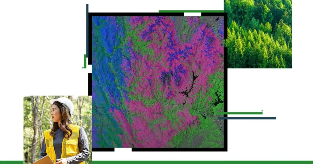
The application of GIS in forestry has emerged as a game-changer in the realm of forest management, offering innovative solutions to complex challenges. With forests

A Geographic Information System, shortly known as GIS, is a framework that is leveraged to capture, store, analyse and visualize spatial or geographic data. The
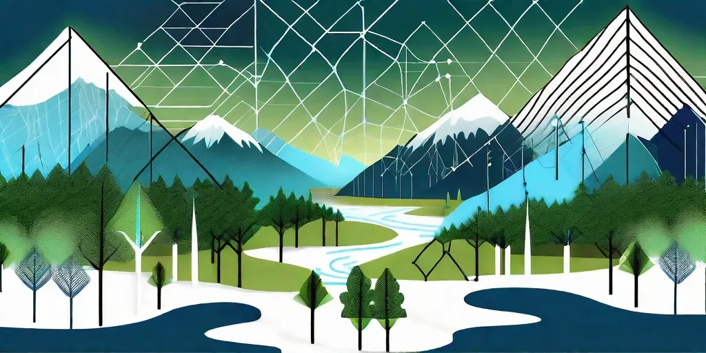
Imagine a world in which we are able to precisely and scientifically build sustainable ecosystems, anticipate environmental dangers before they materialize, and track endangered species
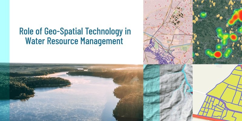
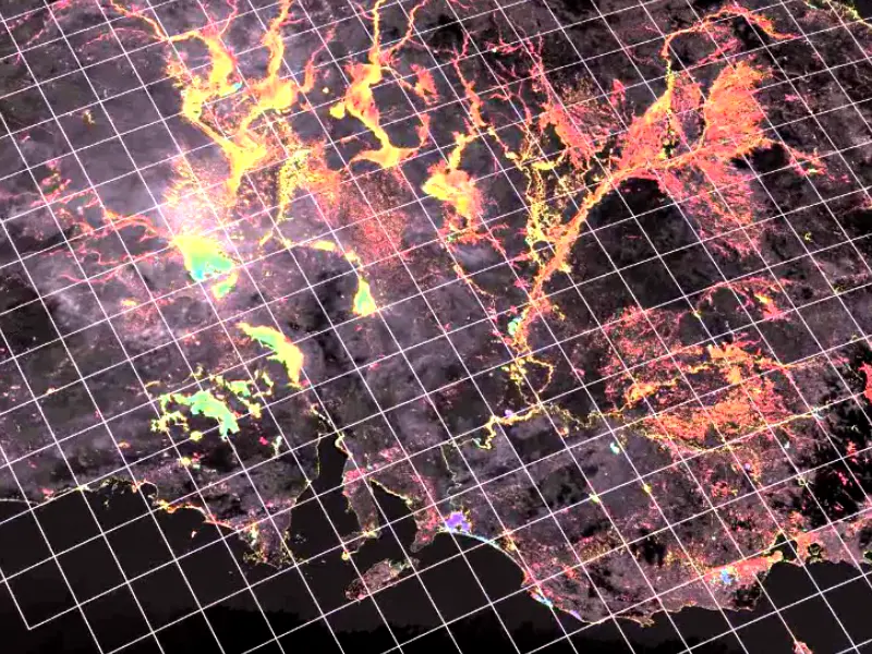
Water is one of the most important natural resources in society, economy, and the environment. Effective GIS for water plays a crucial role in managing
Geographical Information System (GIS) is a computer system that analyses and collects visual as well geographical data by transforming complex data sets into actionable insights.
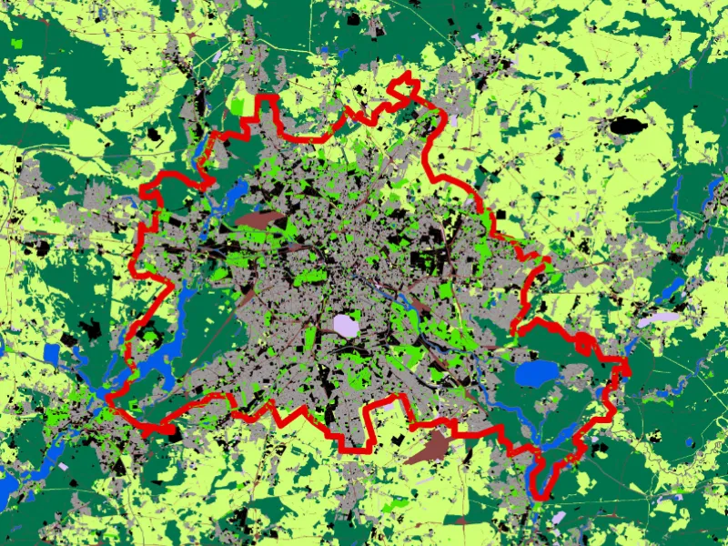
Land use mapping is a comprehensive tool in the field of geography to understand all that’s happening on the Earth’s surface. It helps visualize both

When an entity is studied through analysing, evaluating, and modelling geographical data features—such as locations, qualities, and relationships—the geometric or geographic properties of the data
What is geospatial data analysis, and why are many organizations incorporating it into their analytics and other operations? We’ll answer these questions and more as
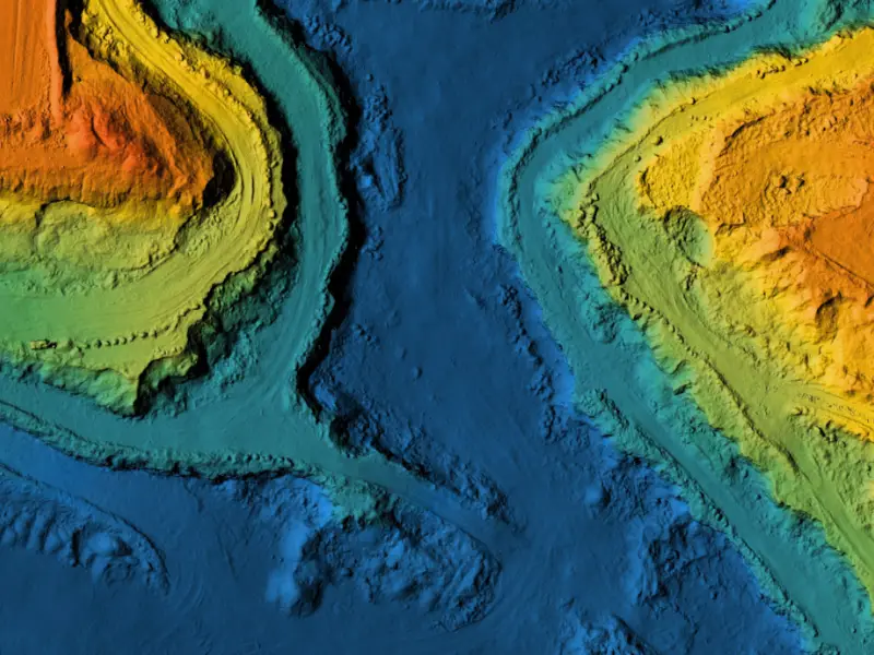
Importance of Elevation Models in Mapping Elevation data plays a vital role in several tasks related to mapping and geospatial analysis. The data provides the