Farm Mapping: The Future of Agricultural Monitoring
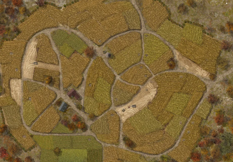
Farm mapping is no longer just about drawing lines on a map. It’s the use of digital tools, geospatial data, and smart mapping techniques to
Farm mapping is no longer just about drawing lines on a map. It’s the use of digital tools, geospatial data, and smart mapping techniques to

Libraries are more than buildings filled with books. They are learning spaces, meeting points, and cultural hubs. In many places, libraries also host events, offer
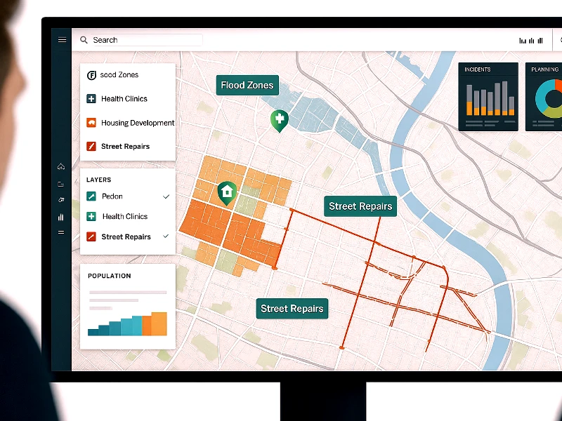
Most decisions made by governments have one thing in common: they’re tied to location. Whether it’s repairing a street, placing a new health clinic, planning
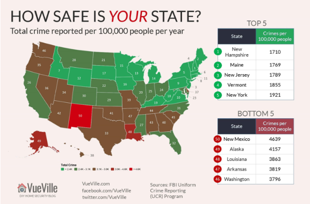
Let’s face it crime doesn’t happen in a vacuum. It happens somewhere. And that “where” often holds the key to solving it, or even stopping
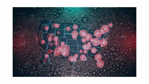
Today’s health challenges ranging from pandemics to inequitable service access must be met with precise and data-driven responses. Geographic Information Systems (GIS) provide the spatial
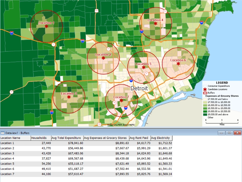
Location is more than an address it’s a story. With geographic information systems (GIS), marketers can turn address data into powerful narratives. By layering customer
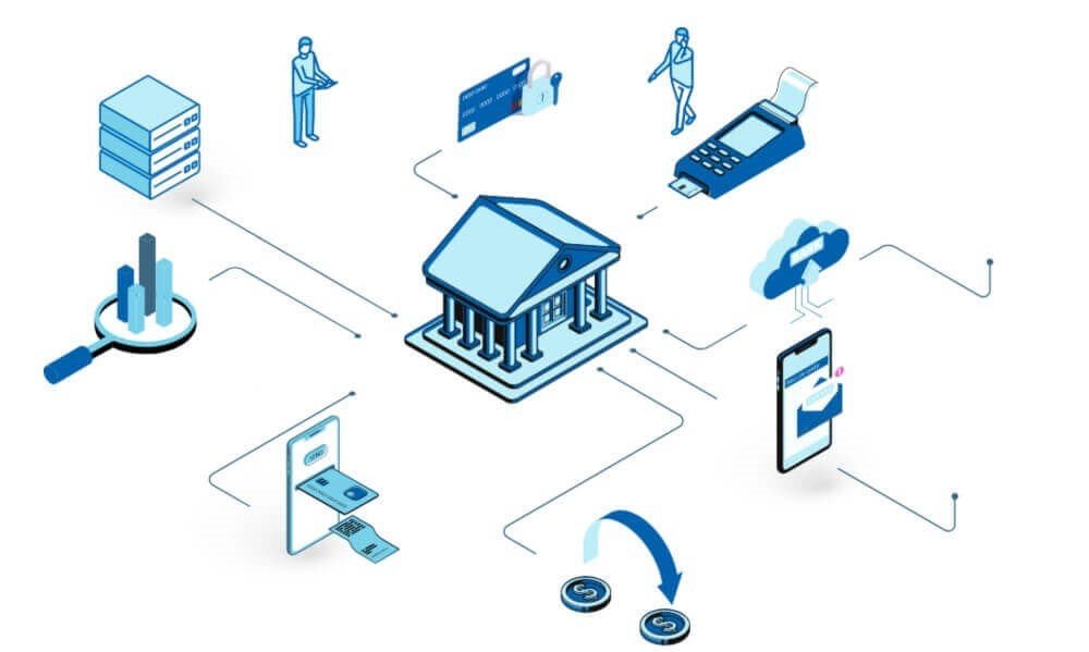
In today’s competitive financial environment, success depends on knowing where your customers are, what they need, and how to reach them effectively. From geospatial analysis

Imagine knowing exactly where your customers are, how they behave, and what areas of your business are underperforming, all displayed on a single, interactive map.

Civil engineering is commonly characterised by manual effort, large construction machinery, and essentials such as steel, concrete, and asphalt. However, a subtle but powerful force

In modern architecture and urban design, decisions are no longer made in isolation. Architects, planners, and urban designers are expected to address a wide array