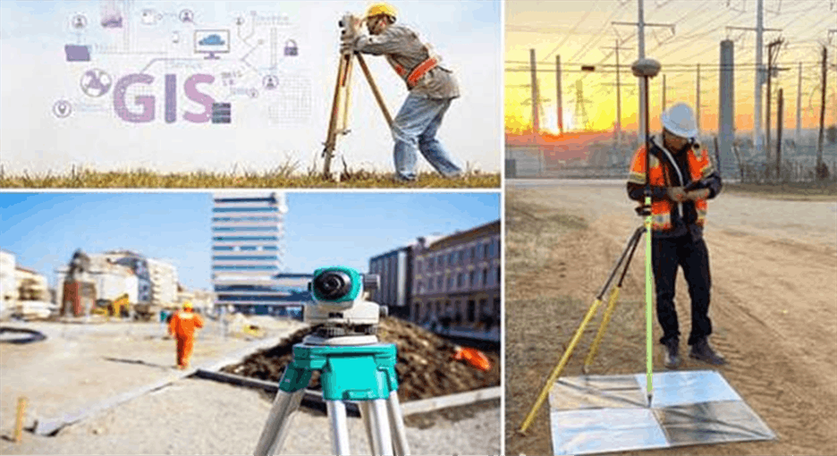
Geographic Information Systems (GIS) have become indispensable across modern industry. From urban planning and environmental impact assessments to utility network management and emergency response, organisations across the UK are turning to spatial data to make smarter, faster decisions.
But as GIS adoption grows, so does the number of consultancies claiming to offer it. The difference between a consultancy that genuinely transforms your operations and one that underdelivers can cost you time, budget, and credibility.
So, how do you separate the experts from the crowd? This guide walks you through the critical factors to evaluate when choosing a GIS consultancy in the UK, and the questions you should be asking before you sign anything.
1. Define Your Requirements Before You Start Looking
One of the most common mistakes organisations make is approaching a GIS consultancy without a clear brief. Before you open a browser or send a single enquiry, document what you actually need:
- What problem are you solving? Is it data integration, field data collection, spatial analysis, or building a custom mapping dashboard?
- What is your existing data infrastructure? Do you hold data in legacy systems, CAD formats, or cloud platforms?
- Who are the end users? Technical GIS analysts or non-specialist field teams?
- What does success look like? Define measurable outcomes, not vague deliverables.
A consultancy worth hiring will ask these questions themselves. If they don’t, treat it as a red flag.
2. Evaluate Technical Expertise, Not Just Software Familiarity

Many consultancies list ESRI ArcGIS or QGIS on their website. Knowing the tools is not the same as mastering them. When evaluating technical capability, look beyond the software badges and assess:
- Proficiency in multiple platforms: The best consultancies are platform-agnostic. They recommend the right tool for your problem, not the one they know best.
- Programming and automation skills: Python (ArcPy, GeoPandas), R for spatial statistics, SQL for spatial databases (PostGIS), and JavaScript for web mapping (Leaflet, Mapbox) are markers of genuine depth.
- Data management capability: Can they handle large-scale datasets, coordinate reference systems, and data transformation pipelines without degrading accuracy?
- Cloud and enterprise GIS: Experience with ArcGIS Online, Microsoft Azure spatial services, or AWS Location Service is increasingly non-negotiable for modern deployments.
Ask for code samples, technical architecture documents from past projects, or request a short discovery session with their lead analyst before committing.
3. Sector Experience Matters More Than You Think
GIS is not industry-neutral. A consultancy experienced in environmental consultancy will have deeply different competencies from one that has spent a decade on transport modelling or telecoms network planning. Sector-specific knowledge shapes how data is structured, which standards apply, and how outputs are interpreted.
Key UK sectors where specialised GIS expertise is critical include:
- Local Government & Planning: Knowledge of Ordnance Survey data licensing, National Land and Property Gazetteer (NLPG), and Local Development Frameworks.
- Utilities & Infrastructure: Familiarity with the Streetworks register, PAS 128 underground utility surveys, and network asset management systems.
- Environmental & Ecology: Understanding of SSSI boundaries, flood risk zone mapping, and Biodiversity Net Gain (BNG) spatial calculations.
- Emergency Services: Experience with CAD/GIS integration, blue light routing, and incident command spatial tools.
- Telecoms & Connectivity: Coverage modelling, fibre rollout planning, and Ofcom Connected Nations data.
Always ask for case studies and references from your specific sector, not just generic project lists.
4. Check Credentials, Accreditations, and Industry Standing

You want demonstrable Experience, verifiable Expertise, credible Authority, and evidence of Trust.
In practice, check for:
- Association for Geographic Information (AGI) membership, the UK’s primary GIS professional body.
- Chartered Surveyor (RICS) or Chartered Geographer (RGS-IBG) credentials where relevant to your project type.
- ESRI UK Partner status, an indicator of verified ArcGIS technical proficiency.
- ISO 9001 or ISO 27001 certification, especially important if you’re sharing sensitive spatial or asset data.
- Published thought leadership, articles, conference presentations (e.g., GeoDataViz, FOSS4G UK), or contributions to open-source GIS projects signal active engagement with the profession.
A consultancy that cannot point to any third-party validation of its expertise is asking you to take their word for it entirely.
5. Assess Communication, Transparency, and Delivery Culture
Technical skill alone does not make a great consultancy partnership. Projects fail because of poor communication just as often as poor data. During your evaluation process, pay attention to:
- Response quality, not just speed: Do they send generic proposals, or do they reflect your actual brief back to you with insight?
- Clarity of pricing: Are day rates, project milestones, and revision cycles clearly scoped? Vague proposals often lead to scope creep.
- Data ownership and IP: Who owns the deliverables, scripts, and databases produced during engagement? This must be contractually clear.
- Knowledge transfer: Will they train your internal team, document their workflows, and leave you more capable than before? The best consultancies build your independence, not your dependency on them.
- Post-project support: Do they offer retainer arrangements, SLAs for system maintenance, or ongoing helpdesk access?
Request a scoped proposal from at least three consultancies before deciding. Compare not just price, but the level of understanding each demonstrates of your specific challenge.
6. Red Flags to Watch Out For
Even experienced procurement teams can be caught out. Watch for these warning signs:
- Overpromising timelines without a detailed project plan to support them.
- Reluctance to provide references from clients in your sector.
- One-platform dependency, if every project somehow requires the same product from the same vendor, question the objectivity.
- No written data security policy for handling your spatial or sensitive datasets.
- Junior-heavy teams without senior oversight on complex projects.
Why GIS Navigator?
At GIS Navigator, we work with local authorities, infrastructure providers, and environmental organisations across the United Kingdom to deliver spatial intelligence that drives real decisions.
Our team brings together accredited GIS professionals, spatial data engineers, and sector specialists with experience across planning, utilities, ecology, and emergency services. We are committed to transparent delivery, full data ownership for our clients, and building internal capability, not dependency.
Whether you need a one-off spatial analysis, an enterprise GIS deployment, or an ongoing managed mapping service, we bring the technical depth and sector knowledge to deliver it with confidence.
Get in touch with GIS Navigator today and let us understand your project before we say a word about solutions.
Summary: Your GIS Consultancy Checklist
Before making your final decision, ensure your chosen consultancy can answer yes to the following:
| Evaluation Criteria | What to Look For |
| Clear requirements process | They ask detailed discovery questions |
| Multi-platform technical expertise | Not locked to one tool or vendor |
| Proven sector experience | Case studies from your specific industry |
| Verified credentials | AGI, ESRI Partner, ISO certification |
| Transparent contracts | Clear IP, pricing, and data ownership terms |
| Knowledge transfer commitment | Training and documentation included |
| Credible references | Real clients, real contact details |
GIS Navigator is a UK-based geospatial consultancy serving local government, infrastructure, and environmental sectors. Visit gisnavigator.co.uk to learn more about our services.