The Global Positioning System (GPS) is one of the more significant enabling technologies that has emerged with the surge in interest in GIS as a management tool. Even though GIS technology provides enormous potential for more informed management decision-making, making competent decisions still requires access to trustworthy data. In this blog, we will learn about GPS and GIS integration, the benefits of GPS in GIS, and how GPS data in GIS is used.
To understand how these systems work together, it’s important to first define what is GIS and GPS, GIS handles spatial data analysis, while GPS determines precise geographic location.
Want More Accurate Location Data for Smarter Decisions?
Combine GPS and GIS to enhance precision, efficiency, and mapping accuracy. Talk to GIS Navigator today!
📞 Schedule a Call | 📩 Email Us | 💼 Get a Quote Now
Global Positioning System (GPS)
GPS stands for Global Positioning System, and it is used worldwide. It is a network consisting of satellites, ground stations, and receivers that unite to demonstrate the location, speed, and time of a user or device on Earth. The receivers receive the broadcast signals from the satellites, determine their distance from them, and use triangulation to determine where they are.
The accuracy of GPS depends on several factors, such as:
- The quantity and geometry of the satellites
- The quality and formatting of the receiver
- The ambient and atmospheric factors
- Sources of multipath and interference
While GPS is focused on collecting real-time positional data using satellites, GIS is designed to store, analyse, and visualize that data in meaningful ways. Understanding the core differences in GIS vs GPS helps teams choose the right combination for their specific spatial challenges.
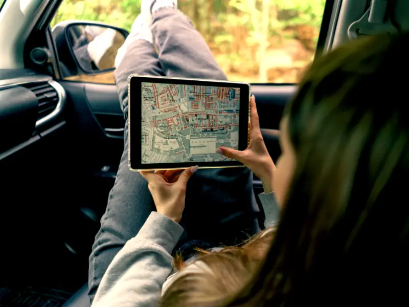
Using GPS for Mapping
When it comes to spatial workflows, how is GPS used in GIS? Primarily for collecting location data that feeds into detailed map creation and analysis. One of the primary uses of GPS technology in GIS is for mapping. GPS receivers collect location data, which can be imported into GIS software to create detailed maps. This process is invaluable for accurately representing landscapes, infrastructure, and other spatial features. For instance, urban planners can use GPS data in GIS to map out city layouts, ensuring efficient land use and infrastructure development.
Geolocation Technology
These days, many sectors depend on geolocation technology, including GPS. Geolocation technology in GIS makes the tracking and visualisation of asset movement, such as automobile or wildlife movement, possible. With real-time vehicle position tracking, routes can be optimised and productivity increased—a feature especially helpful in the transportation and logistics industries.
Logistics and Transportation
Customer Segmentation
Businesses can divide up their clientele based on geography, demography, and other criteria by using GIS maps. These data can be shown as clasper, heat, or category maps.
Supply Chain
GIS maps evaluate and optimise the supply chain by locating inefficiencies and bottlenecks. As a result, more cost-effective and efficient strategic decisions are possible. GIS also makes creating effective routes and schedules easier, giving access to data like customer availability and car capabilities.
Asset Management
GIS systems lower maintenance costs by enabling logistics and transportation companies to replace equipment before critical fatigue levels. They also provide real-time asset monitoring, which is essential because unplanned equipment failure can cause delivery delays and damage customer relationships.
Traffic Modelling
The ability of GIS solutions to model and forecast traffic patterns is crucial for scheduling deliveries, planning routes, and improving fleet management. Roads, highways, and public transit systems can all be planned and designed using this information by city planners and transportation authorities.
Learn: GIS for transportation planning
Route Planning
Delivery routes can be optimised using GIS maps based on variables like traffic, road conditions, and delivery priority. This minimises fuel use, increases delivery accuracy, and cuts trip time.
Fuel Consumption Monitoring
GIS maps are used in logistics and transportation to track fuel use and pinpoint locations where fuel efficiency must be improved. This includes assuring vehicle upkeep, cutting down on idle time, and extending the vehicle’s life—all of which increase cost-effectiveness.
Cargo Monitoring
Geospatial intelligence (GIS) facilitates real-time cargo tracking. This information is essential for deliveries to be made on schedule and in acceptable shape. Furthermore, it can decrease cargo space utilisation and deter theft and loss.
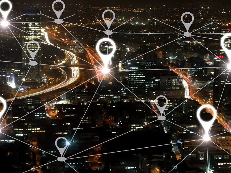
GPS and GIS Integration
GIS and GPS have long been used together to collect, analyze, and manage spatial data efficiently. Users now see it as beneficial for the effective use of GIS data. In addition to being a valuable tool for navigation, GPS is a crucial part of GPS integration into a GIS database for accurate geospatial recordkeeping. The partnership between GIS and GPS allows organisations to update their spatial databases with highly accurate coordinates in real time.
Optimize Your Operations with GPS & GIS Integration
Gain real-time location intelligence to improve planning and resource management. Discover how GIS Navigator can help!
📞 Schedule a Call | 📩 Email Us | 💼 Get a Quote Now
GPS Refining Satellite Image Coordinates
There are several applications for GPS in conjunction with GIS. First, the geographic coordinates connected to satellite imagery can be found or refined using GPS. GPS is utilised to enhance the location accuracy and minimise distortions in these photos. GPS receivers may gather precise geographical coordinates at three or more distinguishable sites on the ground and a satellite image. After that, the remaining portion of the image can be changed to better match the coordinates in real life.
Ground-Truthing Satellite Photos with GPS
Secondly, satellite photos can be ground-truthed using GPS. A GPS receiver can be programmed with the coordinates of a region of unusual or unidentified reflectivity or backscatter in each satellite image. The user can then go directly to the area of interest using the GPS receiver, allowing an examination of the Earth’s surface or vegetation types. With real-time differential GPS, users can navigate directly to a 1 m pixel.
GPS for CAD and GIS Modernization
Third, GPS has become an affordable tool for modernising computer-aided design (CAD) or geographic information systems (GIS). Gathering data via GPS is comparable to digitising a map by dragging a mouse or digitising puck over it. When people use GPS technology, they move around the surface of the Earth, and the location of their movements is calculated and saved as a continuous sequence of coordinates.
Benefits of GPS in GIS
Enhanced Safety
GPS locates you precisely. This can assist you in avoiding possible risks and maintaining your safety in strange places. GPS monitoring gadgets can also be used to monitor the whereabouts of expensive items.
Improved Efficiency
GPS technology can improve the efficiency of your time and resources. For instance, it can help you reduce travel times by enabling precise route planning.
Improved Resource Management
GPS tracking can monitor the vehicles used by your business and your staff. This information can help you successfully control the use and upkeep of these resources.
If you’re wondering what is the GPS used for, it’s essential in helping users locate assets, improve routing, and enhance operational control through precise positioning.
Turn Location Data into Actionable Insights
Leverage GPS and GIS for better navigation, tracking, and decision-making. Get expert guidance from GIS Navigator!
📞 Schedule a Call | 📩 Email Us | 💼 Get a Quote Now
Conclusion
GIS Navigator is your go-to GIS company for all your geospatial needs. We provide comprehensive solutions that integrate GPS technology with GIS to enhance your operations and streamline your workflows.
Trust GIS Navigator to deliver innovative, precise, and efficient GIS solutions that give your business a competitive edge. Let us handle all your GIS work so you can focus on what you do best.


