DEM, DSM, DTM: Understanding the Key Differences for Better Mapping
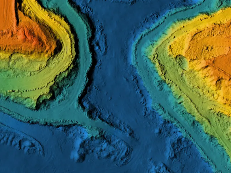
Importance of Elevation Models in Mapping Elevation data plays a vital role in several tasks related to mapping and geospatial analysis. The data provides the
Importance of Elevation Models in Mapping Elevation data plays a vital role in several tasks related to mapping and geospatial analysis. The data provides the

Urban planning is the process of designing and regulating the use of land, resources, facilities, and services in a city or metropolitan area to manage

It is now essential to stay ahead of the competition in this dynamic age of rapid technological innovation. Enterprises and institutions are manoeuvring across the

What is GIS and its Application? Geographical data is one of the most abundant types of data available, forming the foundation for almost every application

What is Digitization in GIS? What is digitizing in GIS? Simply put, it is the process of converting geographic data into a digital format, which