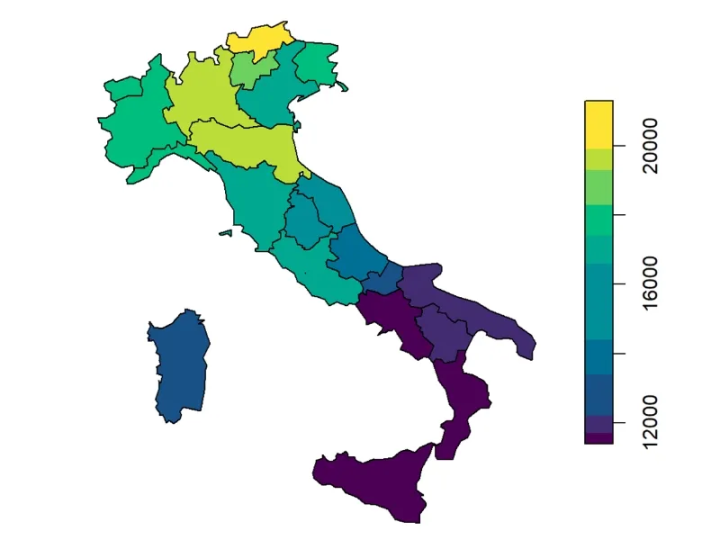
Retail has always been about location, but in today’s competitive market, simply being in the right place isn’t enough. Success now depends on knowing the market in depth: who your customers are, where they live, how they shop, and what your competitors are doing.
Geographic Information Systems (GIS) are redefining retail strategy by giving businesses powerful tools to visualise, analyse, and act on spatial data. Whether it’s deciding where to open the next store, tailoring product assortments, or optimising delivery routes, GIS empowers retailers to make decisions that are grounded in evidence not guesswork.
In this blog, we’ll explore how GIS is shaping retail strategy, the benefits it offers across operations, and why forward-thinking businesses are making it central to their decision-making.
Looking for GIS Solutions to Grow Your Retail Business?
Turn data into decisions with GIS Navigator. From site selection to customer insights, we help retailers expand smarter and faster.
📞 Schedule a Call | 📩 Email Us | 💼 Get a Quote Now
1. Site Selection: Turning Location into a Science
Choosing a retail location is a decision with long-term consequences. A poor choice can lead to low footfall and lost investment, while a strategic choice can anchor a business’s success for years.
With GIS, retailers no longer rely solely on intuition or basic demographic reports. They can:
- Analyse foot traffic patterns by time of day and day of the week
- Assess catchment areas to understand how far customers will travel
- Combine demographic and spending data to identify high-value areas
- Evaluate competitor density and the potential for market saturation
Advanced GIS tools allow for suitability analysis, where multiple datasets such as population density, income levels, accessibility, and competitor locations are combined to score potential sites. Retailers can then prioritise areas with the strongest success potential.
2. Understanding Customer Behaviour in Context
Knowing your customer is essential, but GIS takes this knowledge to a new level by mapping where customers live, work, and shop.
By integrating purchase data with geographic and demographic profiles, retailers can:
- Identify which products are popular in which locations
- Tailor store layouts and product assortments to local preferences
- Recognise seasonal or regional trends in buying patterns
For example, a supermarket chain might use GIS to see that certain branches in urban areas sell more grab-and-go meals, while suburban branches see higher demand for bulk purchases. This insight drives more targeted stocking and marketing.
3. Analysing and Responding to Competition
Competition mapping is one of the most practical uses of GIS in retail. It helps businesses visualise where competitors are located, understand market saturation, and identify retail voids areas underserved by a particular product or service.
Retailers can also assess:
- How far must customers travel to reach a competitor
- Overlap between their own and competitors’ trade areas
- The potential impact of a competitor opening or closing a store
This analysis helps retail businesses protect market share and target expansion where there is genuine unmet demand.
4. Tailoring Inventory to Local Markets
Inventory misalignment, whether overstocking or understocking, can hurt profits and customer satisfaction. GIS allows retailers to match inventory planning to localised demand.
By mapping historical sales data and aligning it with geographic and demographic information, businesses can:
- Optimise product mix for each store
- Forecast demand for new product launches
- Reduce waste in perishable goods
- Improve overall inventory turnover rates
This approach ensures that stores in different locations cater to their specific customer base, boosting sales and reducing losses.
5. Enhancing Marketing with Location Intelligence
Marketing is most effective when it reaches the right audience at the right time and in the right place.
GIS supports location-based marketing by enabling:
- Targeted promotions for customers in specific postcodes
- Geo-fenced advertising, where ads are triggered when customers enter a certain area
- Catchment area analysis to identify where to focus billboard, print, or digital advertising
Retailers can also map the effectiveness of campaigns, comparing sales data before and after targeted promotions in certain areas. This data-driven feedback loop helps refine future campaigns.
6. Streamlining Supply Chain and Logistics

For retailers, efficiency in the supply chain is directly linked to profitability. GIS optimises logistics by:
- Planning delivery routes that minimise travel time and fuel use
- Determining optimal warehouse or distribution centre locations
- Analysing delivery coverage areas to ensure fast service
- Coordinating restocking schedules to avoid stockouts
These improvements reduce operational costs and improve customer satisfaction, especially in e-commerce and omnichannel retail, where quick delivery is a competitive advantage.
7. Improving Store Layouts Through Spatial Insights
While much of GIS analysis happens at the macro scale, it can also influence micro-level decisions such as store layout.
Spatial analysis can reveal:
- Which areas of a store attract the most customer attention
- How customers navigate the aisles
- Which product placements lead to the highest sales
By applying these insights, retailers can design layouts that improve traffic flow, highlight high-margin products, and increase impulse purchases.
8. Real-Time Data for Agile Decision-Making
In fast-moving markets, the ability to respond quickly is vital. GIS dashboards can display real-time data on sales, footfall, and operational performance, allowing managers to:
- Monitor store performance across multiple locations
- Adjust staffing levels based on predicted demand
- Respond rapidly to supply chain disruptions
- Reallocate stock between stores to meet emerging demand
Real-time GIS tools ensure that decision-making keeps pace with the dynamic retail environment.
9. Supporting Omnichannel Retail Strategies
Modern retail is rarely limited to physical stores. GIS helps integrate online and offline strategies by:
- Mapping customer delivery locations to identify online order hotspots
- Deciding where click-and-collect points will have the most uptake
- Aligning in-store promotions with regional online marketing campaigns
By connecting the digital and physical shopping experience through location intelligence, retailers can create a seamless brand presence.
10. Measuring Performance and Planning Growth

GIS doesn’t just help with planning; it also measures the effectiveness of decisions. Retailers can use it to compare store performance against market potential, identifying:
- Underperforming stores in strong markets (suggesting operational changes are needed)
- Overperforming stores in weaker markets (indicating a strong local strategy that could be replicated)
- Geographic areas showing emerging demand for specific product categories
This analysis supports long-term strategic growth and prevents costly mistakes.
Conclusion
In retail, knowing your market means knowing your geography. GIS gives retailers the tools to understand not just where their customers are, but why they shop the way they do, and how best to reach them.
From strategic site selection to targeted marketing, supply chain optimisation, and sustainability initiatives, GIS delivers insights that go far beyond the capabilities of traditional business analytics.
Retailers who embrace GIS are not just reacting to the market; they are actively shaping it.
Ready to Transform Your Retail Strategy with GIS?
Partner with GIS Navigator to optimise locations, tailor products to customers, and gain the competitive edge your business needs.
📞 Schedule a Call | 📩 Email Us | 💼 Get a Quote Now