Libraries are more than buildings filled with books. They are learning spaces, meeting points, and cultural hubs. In many places, libraries also host events, offer internet access, and support job seekers. But even the best library cannot serve its community if people cannot reach it or do not know what it offers.
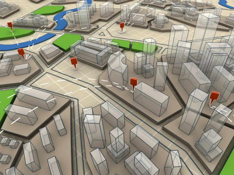
This is where the GIS (Geographic Information System) comes in. In simple terms, GIS is a tool that combines maps with data. It helps us see not only where things are but also understand the patterns and needs linked to those locations.
For libraries, GIS can answer questions like:
- Where should we open the next branch?
- Which neighbourhoods have no easy access to library services?
- How can we make our mobile library routes more efficient?
- Which communities would benefit from targeted outreach?
By turning raw information into clear maps, GIS helps libraries make better decisions and reach more people.
What is GIS?
A traditional map shows locations, roads, rivers, parks, and buildings. GIS takes that idea further. It adds information (data) to the map so we can understand the “story” of a place.
Think of it as a smart map that can tell you:
- How many people live in a certain area
- How far are those people from the nearest library
- Which bus routes pass near that library
- How many library members borrow books in that area
This is possible because GIS links every piece of information to a location. That location might be an address, a set of GPS coordinates, or an area like a neighbourhood.
How GIS works in a simple workflow:
- Collect: Gather data from sources like membership records, census data, GPS, or surveys.
- Store: Keep the data in a GIS database.
- Analyse: Look for patterns and relationships.
- Display: Create a map or chart that shows the results clearly.
Why Libraries Use GIS
Libraries face constant challenges:
- Budgets are limited.
- Populations grow and shift.
- Some communities are underserved or hard to reach.
Without the right information, decisions can be based on guesswork. GIS helps replace guessing with evidence-based planning.
With GIS, library managers can:
- See where services are strong and where gaps exist.
- Understand how people use their facilities.
- Target resources where they will make the biggest difference.
- Plan new initiatives based on real community needs.
Key Applications of GIS in Libraries
1. Planning New Branch Locations
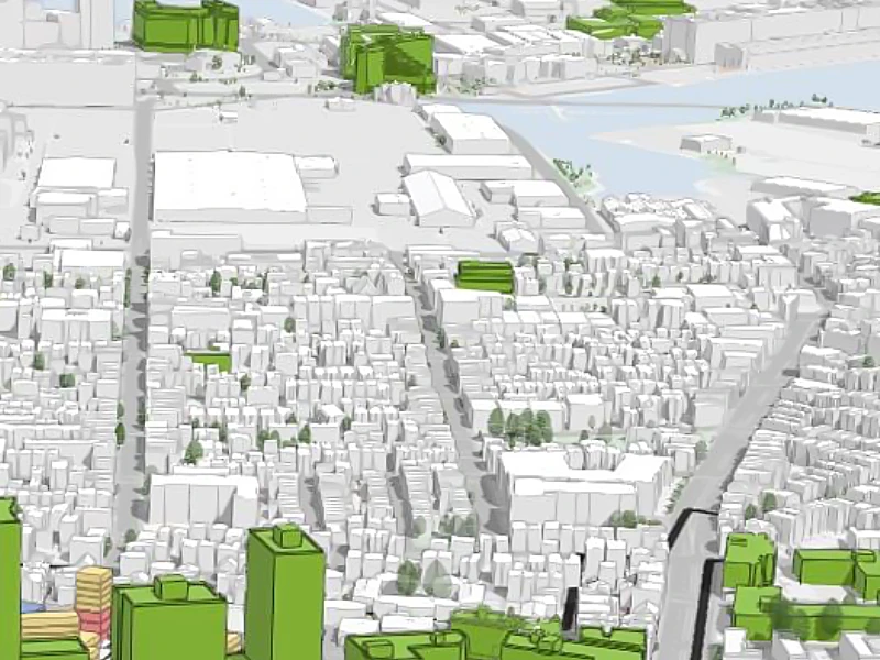
Opening a new library is a big investment. It needs to be in the right place to serve as many people as possible. GIS can help by combining:
- Population data
- Membership records
- Public transport routes
- Existing branch locations
By layering this information on a map, decision-makers can see:
- Where population density is high but library access is low
- Which areas are growing quickly and will need services soon
- Where transport links make it easy for people to reach a new branch
Example: A city library system maps out all current branches and overlays population data. The map shows that a new housing development in the north has no nearby library. This evidence supports a proposal to open a branch there.
2. Optimising Mobile Library Routes
Mobile libraries (bookmobiles) bring books and services to communities without branches. Planning their routes is complex; they need to cover large areas while keeping travel time reasonable.
GIS can:
- Map showing where the current mobile library stops are located
- Analyse travel times and road conditions
- Plan routes that reach more people in less time
- Adjust schedules based on seasonal needs or events
Example: A rural library system uses GIS to redesign its bookmobile schedule. They managed to add three new stops while reducing the total driving distance by 20%, thereby saving fuel and time.
3. Understanding Community Needs
Every community is different. Some areas may need more children’s books, others may want computer access or meeting spaces.
GIS can link borrowing records with demographic data to show patterns, such as:
- Areas where children’s book borrowing is high
- Districts where foreign-language books are in demand
- Places where library event attendance is low
Example: GIS shows that a particular neighbourhood has many senior citizens but low attendance at library events. The library responds by organising senior-focused programs and free transport from that area.
4. Targeted Outreach and Marketing
Some communities may not know about the library’s services. GIS can identify these areas so staff can plan targeted campaigns.
This might include:
- Hosting events in partnership with local schools or community centres
- Delivering flyers or direct mail to specific postcodes
- Running social media ads focused on certain neighbourhoods
Example: GIS analysis finds a district with many young families but few library memberships. The library organises a weekend family reading fair in a local park. Membership sign-ups in that district increase by 30% in the following month.
5. Preserving Local History
Many libraries keep archives, photographs, and historic maps. GIS can help organise and display these collections interactively.
What this can look like:
- Digitising old maps and linking them to present-day locations
- Creating online maps where users can click on a building to see historic photos or stories
- Mapping changes in the community over decades
Example: A library creates an online “History Map” of the city. Residents can explore past images of their street and add their memories.
Benefits of GIS for Libraries
GIS offers a range of benefits that go beyond simple mapping:
- Better Decision-Making: Clear maps make it easier to choose where to focus resources.
- Cost Savings: Targeted planning avoids waste.
- Community Engagement: Understanding local needs helps design better programs.
- Equity in Access: Identify and reduce service gaps so all communities benefit.
- Improved Outreach: Identify areas with low awareness and develop targeted campaigns.
Conclusion
GIS gives libraries a powerful way to see their communities. It moves planning away from guesswork and into evidence-based action.
By mapping where services are strong and where they are missing, libraries can:
- Plan better locations for branches and stops
- Tailor collections to community needs
- Reach more people with targeted outreach
- Preserve and share local history in creative ways
In the end, a library’s mission is to connect people with knowledge. GIS helps make that connection stronger by showing exactly where and how it is needed most.


