Cadastral Mapping Services

Empower the process of strategic and sustainable development through accurate cadastral mapping.

Inaccurate cadastral information can impact the processes of land management and working through property data. Mismanaged data, misaligned boundaries and a lack of compliance with the local zoning regulations can result in disputes. The absence of accurate cadastral maps can lead to planning efficiencies, affecting strategic decision-making. When stakeholders don’t have access to precise data, they struggle to make smarter decisions regarding land use which delays project development. Authorities may also find it difficult to trust property management systems which results in various challenges such as huge financial loss and lack of trust among concerned parties.

Leave behind all the challenges that you face regarding cadastral mapping and equip yourself with the tools and knowledge necessary to get things done the right way!

Problem

What We Offer

1. Parcel Mapping

We assist in developing highly detailed maps that accurately define land parcels. This empowers stakeholders in efficient property management. Our parcel mapping services not only help minimize the risks of costly boundary disputes but also simplify the process of land management, enabling you to make sustainable decisions. With accurate boundary definitions and our continued support, you can witness long-term growth.

Parcel mapping
Property Boundary Visualization

2. Property Boundary Visualization

Get ready to visualize highly precise property boundaries with GIS Navigator! Our property boundary visualization solutions are carefully designed to offer detailed and interactive boundary maps. By uitilizing all that we have to offer for your projects, you can ensure that all the stakeholders are on the same page. This also allows for better planning and strategic coordination among concerned teams.

Property Boundary Visualization

3. Ownership Mapping

At GIS Navigator, we deliver a comprehensive view of land ownership that also includes gaining knowledge on the parcel owners. Our ownership mapping services enable our valued clients to track property details by streamlining the process of land management. GIS Navigator also facilitates the process of strategic and efficient decision-making that will be beneficial for the planners and communities alike.

Ownership Mapping
Zoning Compliance & Analysis

4. Zoning Compliance and Analysis

Our team of experts is fully skilled to help you stay compliant with zoning laws and regulations. After analyzing your property data against local zoning laws, we assist you in understanding the  restrictions and exploring future opportunities. This enables all the stakeholders to keep the projects aligned with the legal requirements and also minimize the risks of non-compliance with the regulations.

Zoning Compliance & Analysis

5. Site Analysis for Development

Do you want to optimize your site selection and improve planning? Then look no further because GIS Navigator is here to help you evaluate sites for development potential while considering the topography conditions and zoning restrictions. This will empower you to make strategic investments every single time. Not to forget that you will get to witness your desired results through the execution of your projects.

Site Analysis for Development
Vector Smart Object blue 1

Industries We Serve With Our
Cadastral Mapping Service

We help several industries with our expert cadastral mapping solutions, allowing stakeholders to stay ahead in the game through informed decision-making.

Real Estate & Property Management

Our highly accurate cadastral maps will help streamline land management and property transactions like never before. Our services are specially designed to help real estate professionals track ownership details, visualize boundaries efficiently. This also enables all stakeholders to reduce costly property-related disputes.

Urban Planning & Development

Get ready to plan your future urban projects! We specialize in ensuring that you are compliant with zoning analysis while also allowing you to visualize property boundaries effectively. Our modern techniques and advanced tools will help determine accurate data essential for sustainable urban planning & development.

Book a free cadastral mapping assessment!

Our Approach

Frame

Detailed Project Consultation

Once we have discussed your cadastral mapping needs, we will develop a bespoke plan to help you meet your goals.

Frame (1)

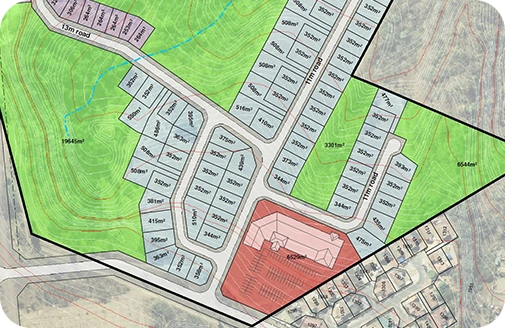
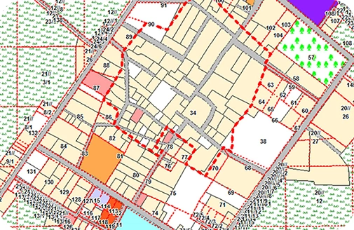
Careful Mapping & Analysis

Our expert team members are ready to assist you with mapping parcels, visualizing boundaries and performing zoning compliance. 

Frame (4)

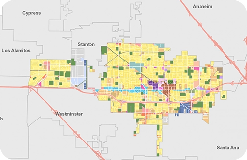
Data Delivery & Support

Get your hands on comprehensive cadastral mapping and enjoy ongoing support from our teams throughout a project’s lifecycle. 

Recognized by the Best

The company needed to complete a complex migration on a tight deadline to avoid millions of dollars in post-contract fees and fines.

Business Partners

Contact Us

Your Trusted Partner for Advanced GIS Solutions.

Our experts are ready to guide you in finding the perfect GIS solutions for your needs. Let’s discuss your project today!

Start Your GIS Project Consultation