


Detailed Initial Consultation
We thoroughly discuss your project needs & goals and deliver tailored solutions to meet them successfully.

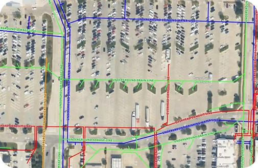
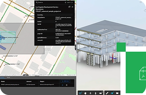
Data Integration & Implementation
Our team of experts creates customised spatial plans that focus on maximising the impact of your data and providing meaningful insights.

Guidance & Support
Enjoy hands-on knowledge and ongoing support to make the most of our bespoke solutions to get your desired results.