What is Land Use Mapping?
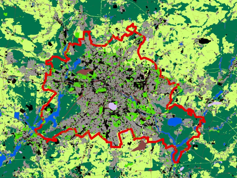
Land use mapping is a comprehensive tool in the field of geography to understand all that’s happening on the Earth’s surface. It helps visualize both
Land use mapping is a comprehensive tool in the field of geography to understand all that’s happening on the Earth’s surface. It helps visualize both