Behind the Maps – How We Digitally Model the Real World Using GIS
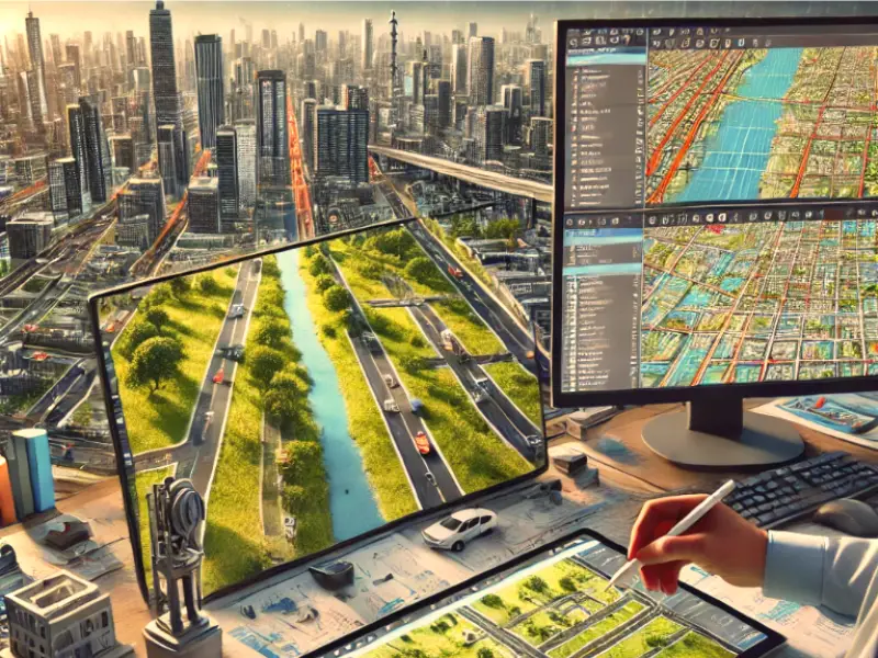
Geographic Information Systems (GIS) is a technology that enables the capture, storage, analysis and visualization of spatial and geographic data. It integrates several data types
Geographic Information Systems (GIS) is a technology that enables the capture, storage, analysis and visualization of spatial and geographic data. It integrates several data types