In modern architecture and urban design, decisions are no longer made in isolation. Architects, planners, and urban designers are expected to address a wide array of factors environmental sustainability, infrastructure capacity, population growth, zoning regulations, and much more. That’s where Geographic Information Systems (GIS) prove indispensable.
GIS has steadily become a core tool in the toolkit of professionals working at the intersection of architecture, planning, and urban development. It allows for a data-driven design approach that supports practical decision-making by providing spatial context, geographic accuracy, and dynamic modelling capabilities.
This blog breaks down how GIS in architecture is used across different stages of planning and urban development, from early concept design to long-term infrastructure planning.
What is GIS in Architecture and How it Helps?
GIS, or Geographic Information Systems, is a framework for capturing, managing, analysing, and presenting spatial or geographic data. In simple terms, it helps users understand patterns, relationships, and trends in the context of location.
This means looking at more than just the immediate site in architecture and planning. GIS allows design professionals to consider how a structure or development fits into the surrounding environment, economy, and community.
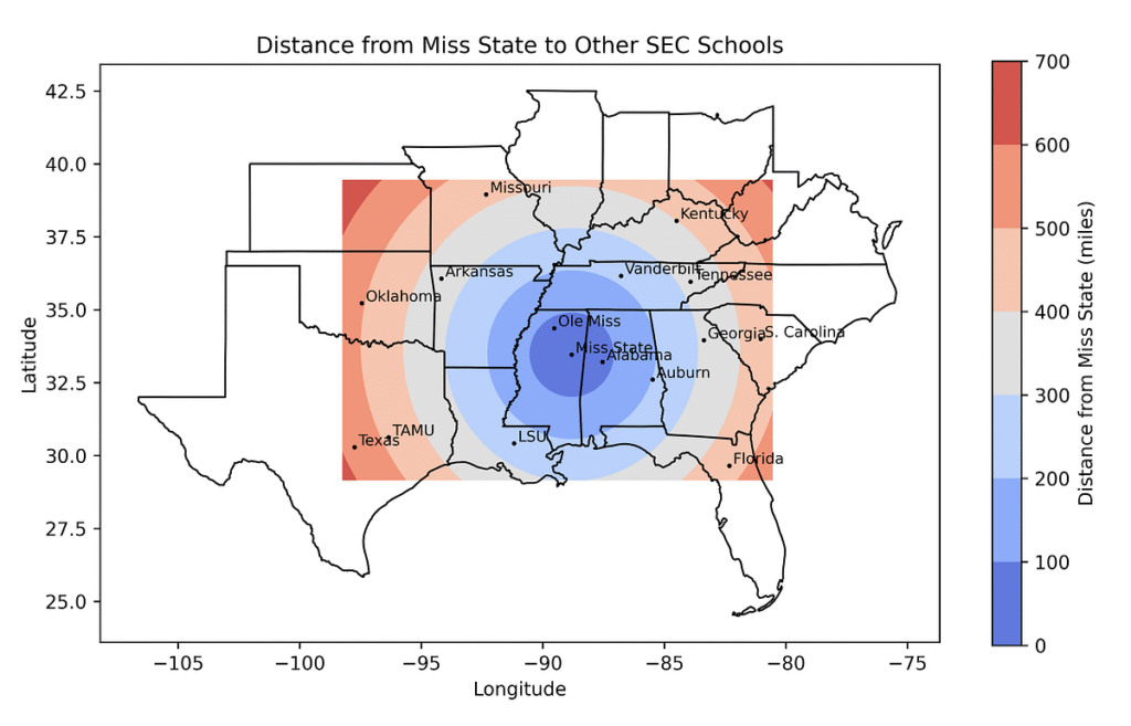
For architects, GIS supports better site selection, environmental analysis, and contextual design. For planners, it helps evaluate land use, traffic flow, zoning compliance, and urban infrastructure needs. And for urban designers, GIS provides the tools to visualize, model, and communicate changes to public space with clarity.
The following are some applications of GIS in architecture:
1. Site Selection and Feasibility Analysis
Before the first line is drawn on a blueprint, architects and planners need to identify the most suitable locations for development. This is one of the most practical and widely adopted uses of GIS in architecture and planning.
How GIS Helps:
- Topography & Slope Analysis: GIS can reveal changes in terrain that may affect drainage, foundations, or the cost of construction.
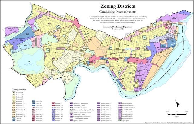
- Land Use and Zoning Data: Layered zoning maps allow planners to identify regulatory constraints or opportunities.
- Access to Transport & Utilities: GIS visualizes proximity to roads, rail, electricity, and sewerage key to assessing build viability.
- Environmental Constraints: Wetlands, flood zones, or protected habitats are easily flagged with GIS layers.
GIS streamlines what would otherwise require time-consuming reviews of disparate maps, plans, and datasets.
Read More: The Role of GIS in Urban Planning
2. Contextual and Environmental Design
Buildings don’t exist in a vacuum. Good architectural design takes the surrounding landscape, culture, and environment into account. GIS provides the contextual layers that help architects design with purpose, not just aesthetics.
GIS for Architecture Enables:
- Sunlight and Shadow Studies: By modelling the sun’s position throughout the year, GIS offers spatial information such as solar access and terrain analysis that guide passive design approaches and energy-efficient layouts.
- Noise and Air Quality Mapping: These layers inform the placement of residential, commercial, or recreational areas to ensure livability.
- Viewshed Analysis: GIS helps identify what areas are visible from a certain point useful for both preserving scenic views and preventing visual intrusion.
- Microclimate Evaluation: Temperature, wind, and humidity variations can influence façade choices, orientation, and ventilation strategy.
By using GIS, architects make more informed decisions that harmonize their projects with the environment and community needs.
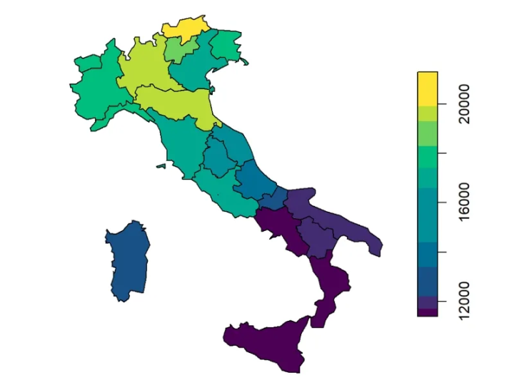
3. Master Planning and Large-Scale Urban Layouts
Urban planners and designers often work on projects that involve entire districts or towns. Planning these areas requires understanding not only the site itself but how each part interacts with the whole.
GIS for Urban Planning Allows You To:
- Design Road Hierarchies: Map existing roads and propose new ones while evaluating traffic flow and connectivity.
- Plan Green Spaces and Public Amenities: Ensure accessibility to parks, schools, and healthcare facilities based on population density and land availability.
- Manage Infrastructure Loads: Anticipate how new developments affect existing sewer, water, and electricity systems.
- Prevent Urban Sprawl: Use GIS to analyze current development patterns and suggest compact, efficient alternatives.
By layering population data, transportation routes, and land use types, planners can develop strategies that address both present and future community needs.
4. Heritage Preservation and Redevelopment
Redeveloping urban areas or integrating modern structures into heritage zones requires a delicate balance. GIS supports this effort by providing detailed records of existing building footprints, heritage boundaries, and spatial relationships.
GIS in Architecture Assists With:
- Mapping Historic Sites: Avoiding demolition or visual disruption of important heritage assets.
- Overlaying Property Boundaries: Accurately assess ownership and land division within protected zones.
- Modelling Urban Density: Ensure redevelopment aligns with historical density patterns or height restrictions.
GIS brings clarity to the redevelopment process, helping urban designers preserve character while accommodating growth.
Read More: What is Geospatial Surveying?
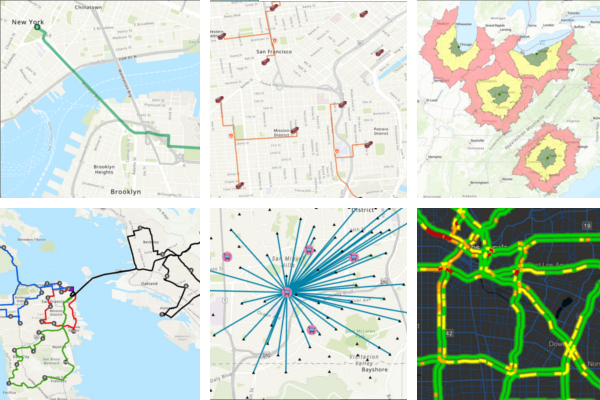
5. Public Engagement and Stakeholder Communication
Urban design projects can often be contentious. Local residents, businesses, and officials all have opinions and rightly so. One of the biggest hurdles is communicating complex spatial data in a way non-specialists can understand. GIS helps bridge that gap.
With GIS, Project Teams Can:
- Create interactive maps to show proposed changes.
- Model “before and after” scenarios for development plans.
- Visualize how traffic, greenery, and public spaces will change.
These tools aren’t just informative they’re persuasive. They help gain buy-in from stakeholders and increase transparency in the planning process.
6. Infrastructure Maintenance and Asset Management
After the project is complete, GIS continues to add value by supporting operations and long-term maintenance. Urban design doesn’t end at construction it evolves.
GIS Supports Post-Design Activities Like:
- Utility Mapping: Maintain accurate records of underground and above-ground services.
- Asset Tracking: Log the condition and lifespan of materials, pavements, street furniture, etc.
- Emergency Planning: Ensure first responders have access to up-to-date building layouts, hydrants, and escape routes.
- Sustainable Monitoring: Track carbon emissions, tree cover, or heat islands as cities change over time.
By embedding GIS into asset management systems, municipalities and building managers can maintain performance, reduce risks, and budget for long-term upgrades.
7. Disaster Risk Reduction and Resilience Planning
Natural hazards such as floods, earthquakes, and fires increasingly shape how cities are designed and maintained. GIS enables architects and planners to build safer cities through preventive design strategies.
Applications Include:
- Flood risk modelling to guide elevation and drainage planning.
- Mapping fault lines or seismic zones to inform structural design codes.
- Emergency evacuation planning based on population density and access routes.
GIS makes resilience measurable, not hypothetical.
Conclusion
GIS is no longer a niche tool reserved for cartographers or engineers. Today, it plays a central role in how architecture, planning, and urban design are executed. Whether it’s zoning compliance, infrastructure planning, or public engagement, GIS brings spatial clarity that reduces risk and drives smarter design decisions.
If you’re an architect or planner not yet using GIS, you’re likely making decisions with only half the picture in view.
At GIS Navigator, we provide tailored GIS services for architecture and urban planning teams across the UK and globally. Get in touch today to see how spatial intelligence can take your projects further with accuracy, speed, and confidence.