GIS aviation technology has become indispensable to the industry, supporting various tasks within airports and aircraft management operations. The kinds of GIS used in aviation must be very accurate, efficient and reliable. It must also work on a real-time basis to ensure the smooth running of the airports and flights at large. GIS’s ability to offer distributed and multi-tasking processing enables various activities to be coordinated all at the same time making it a powerful foundation for GIS services in the navigation sector.
List of Applications of GIS in Aviation
Aviation structures management
Many tall structures like towers and buildings are monitored using GIS. Surveying these structures is very important. GIS can be integrated even to manage control of automated tasks in some of these structures found at the airport. GIS is helpful in visualizing and managing the spatial relationships of aviation structures like towers and buildings, which supports operational planning and safety assessments.
Airport layout planning/Aerodrome mapping
When building or expanding an airport, 3D modeling through GIS is a game changer. Engineers use it to simulate layouts, test different designs, and analyze land use. These simulations catch errors before they happen, saving both time and budget.
Even after the airport is operational, GIS remains part of day-to-day planning, helping with navigation systems, security layouts, and more.
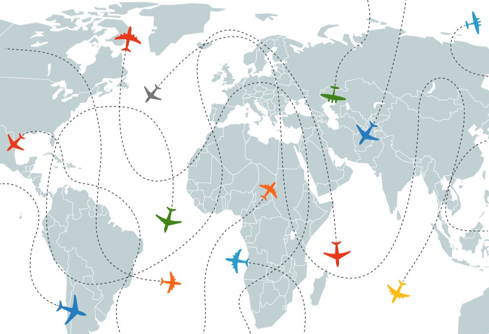
Flightpath monitoring
GIS aviation services play a vital role in ensuring real-time tracking and improving coordination between radar systems and air navigation providers.
Radars alone aren’t enough. Air Navigation Service Providers now integrate radar systems with GIS to track aircraft in real time over land or sea. Pilots and air traffic controllers rely on these systems to stay updated on flight paths and reroute when needed.
In emergencies, GIS can be used to locate aircraft quickly analyse the last known location, and guide rescue teams. It’s also a helpful tool during investigations, offering a detailed view of routes and potential anomalies.
Risk and security evaluation
From monitoring potential threats to responding during critical events, GIS helps airport security teams stay prepared. It supports crime mapping, helps predict risk zones, and even integrates with satellite data to give a wider view of the area which is especially valuable in times of crisis or suspected attacks.
Environmental and weather assessment
Bad weather can cause ground flights, so accurate weather tracking is critical. GIS, when combined with meteorological systems, helps assess conditions like storms, wind speeds, or volcanic activity. If flights need to be rerouted or canceled, GIS provides the data to support those calls.
It’s also useful for long-term planning, such as evaluating how climate or location-specific hazards (like fog or heavy rainfall) could affect airport operations.
Capacity planning
Whether it’s managing cargo zones, parking bays, or passenger terminals, GIS helps airports plan for space efficiently. It’s used to simulate future capacity, evaluate layout changes, and ensure smooth traffic flow even as demand grows.
Parking management
With thousands of travelers arriving in their vehicles, managing parking is no small task. GIS can help visitors locate empty parking spots through mobile apps or real-time maps cutting down time, confusion, and congestion.
Airspace management and route optimization
Air Navigation Service Providers (ANSPs) use GIS to plan and optimize flight routes. It’s used to design safer, more efficient flight paths, avoid restricted areas, and reduce traffic in congested zones. GIS-powered systems also help cut delays by adapting to real-time airspace changes.
Obstacle Limitation Surfaces (OLS) and e-TOD management
Ensuring that no buildings, towers, or natural obstacles interfere with flight paths is a major safety priority. GIS helps manage Obstacle Limitation Surfaces (OLS) and Electronic Terrain and Obstacle Data (e-TOD). This information is vital for pilots and controllers to avoid risks during takeoff and landing.
Emergency response and aviation safety
During an emergency be it a crash, runway incident, or natural disaster, GIS delivers the real-time intelligence needed to respond fast. It supports route planning for rescue teams, locates incident zones precisely, and helps coordinate resources efficiently.
Case Studies: GIS in Aviation
C&S Companies’ Airfield Inspections and Asset Management: C&S Companies integrated Appia, a cloud-based construction administration platform, with Esri’s ArcGIS Field Maps to enhance airfield inspections and asset management. This integration provided high-accuracy geo-located inspection data, improved efficiency by eliminating paper-based processes, and enabled real-time review of construction activities.
Dublin Airport’s Data Management Transformation: Dublin Airport developed an integrated asset view using ArcGIS Enterprise, creating a secure system of record. This comprehensive GIS framework improved data management facilitated seamless access to airport maps and streamlined project discussions among teams.
Hartsfield-Jackson Atlanta International Airport’s Web GIS Adoption: As the world’s busiest airport, Hartsfield-Jackson Atlanta International implemented Web GIS to enhance safety and efficiency. The system supports various operations, including runway maintenance, engineering, and wayfinding, by providing real-time and 3D mapping capabilities.
The Future of GIS in Aviation
As technology advances, GIS in aviation is becoming more integrated with Artificial Intelligence (AI), Remote Sensing, and Big Data. The future of GIS in aviation will see digital twins of airports, AI-driven airspace management, and real-time 3D visualization for improved situational awareness.
Conclusion
Whether it’s keeping track of planes, parking management, or managing emergencies, GIS aviation services are quietly running behind the scenes, making aviation safer and more efficient.
It’s not just a support tool it’s central to how airports and airlines operate today.
At GIS Navigator, we believe in unlocking the full potential of GIS to power better aviation solutions. From smart planning to real-time control, we’re helping reshape the skies one layer at a time.


