RAF Lakenheath Utility Network Management


GIS Navigator assisted RAF Lakenheath to address utility network challenges, specifically in electricity, water, sewer and gas, by enhancing infrastructure management through Geographic Information System tools. The project begins with extracting BIM and CAD models data and converting it into GIS compatible formats and creating utility network datasets. Spatial analysis, such as georeferencing, vector model based tasks including digitisation and topology, and populating the Data, were utilised to visualise and organise data within GIS. The Result? A database containing multiple datasets that supports RAF Lakenheath in making strategic decisions about utility layout and infrastructure planning, leading to improved long-term management and network efficiency.
Project Overview
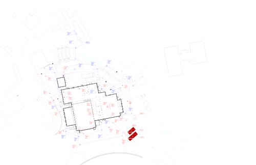
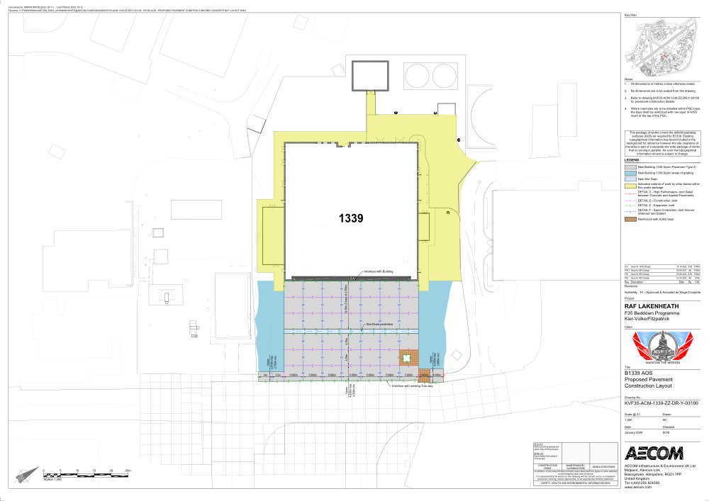
RAF Lakenheath, one of the United Kingdom’s largest and most operationally critical air bases, faced significant complexity in managing its underground and surface utility networks. Spanning electricity, water, sewer, and gas infrastructure; the base lacked a unified, spatially accurate system capable of supporting strategic planning and day-to-day operational decisions.
Legacy documentation was fragmented across BIM models and CAD drawings that were not natively compatible with modern GIS environments, making it difficult for asset managers to visualise, interrogate, or act on network data with confidence.
The Challenge
Electricity: High-voltage distribution networks with ageing records spanning multiple decades of base expansion require urgent spatial reconciliation.
Water: Potable and non-potable water mains require mapping to ensure compliance, identify pressure zones, and support maintenance scheduling.
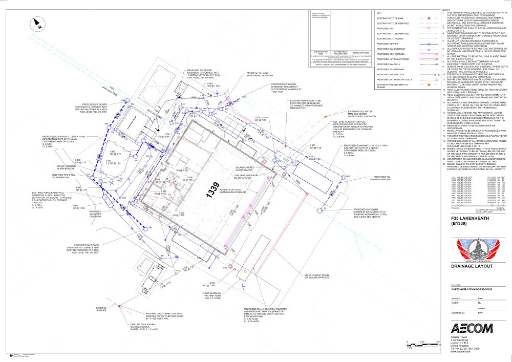
Sewer: Foul and surface water drainage systems were undocumented in digital formats, creating risk in excavation planning and capacity modelling.
Gas: Gas supply infrastructure presented the highest safety sensitivity, with incomplete spatial records posing operational and regulatory risk.
Our Approach
GIS Navigator deployed a structured, multi-phase methodology, moving from raw engineering data through to a fully managed spatial database, enabling RAF Lakenheath to transition from siloed document sets to a single, authoritative utility intelligence platform.
Phase 1: Data Extraction & Format Conversion
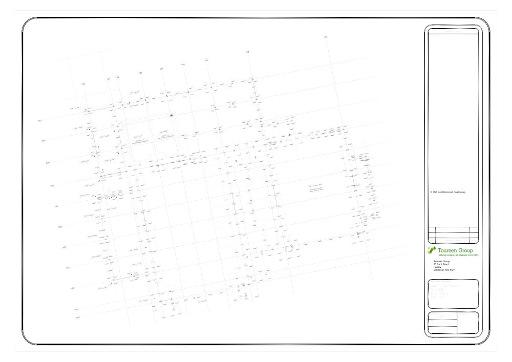
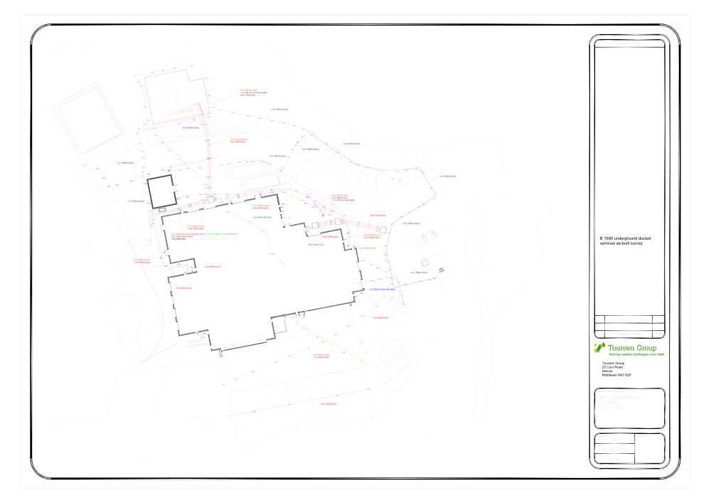
Source data was extracted from BIM (Building Information Modelling) and CAD drawings across all four utility disciplines. Each dataset was audited for completeness, accuracy, and spatial reference information before conversion into GIS-compatible formats, ensuring no loss of attribute richness during the transformation.
Phase 2: Georeferencing & Spatial Alignment
Non-georeferenced CAD files and engineering drawings were accurately georeferenced to the British National Grid (OSGB36), aligning all utility layers within a common coordinate reference system. Control points were validated against authoritative basemap sources to achieve sub-meter spatial accuracy across the base footprint.
Phase 3: Digitisation & Vector Modelling
Utility features, mains, laterals, valves, sewer holes, ducts, meters, and connections were digitised as vector features with precise geometric representation. Network topology rules were applied to establish connectivity between assets, enabling trace analysis and isolation zone identification for each utility system.
Phase 4: Topology & Data Validation
Topology checks were executed to identify and resolve errors, including dangles, pseudo-nodes, self-intersections, and connectivity gaps. A rigorous quality assurance process verified spatial relationships and ensured the network datasets met the requirements for utility network analysis within ArcGIS Pro environments.
Phase 5: Attribute Population & Database Build
Each spatial feature was enriched with structured attribute data, material type, diameter, installation date, condition rating, ownership, and operational status, drawn from engineering documentation and client records. The final geodatabase was structured around RAF Lakenheath’s asset management taxonomy to enable seamless integration with existing infrastructure management processes.
Deliverables
- A structured, multi-layer GIS geodatabase encompassing all four utility disciplines with full attribute schemas and network connectivity.
- Topologically correct vector datasets enabling trace, isolation, and flow analysis across each utility network without manual interpretation.
- Georeferenced and spatially accurate base maps aligned to British National Grid, verified against authoritative survey data.
- Enhanced capability for capital investment planning, with decision-makers able to visualise network age, condition, and risk spatially.
- Improved excavation and maintenance safety through accurate underground asset location records available across the estate.
- A scalable data framework designed to accommodate future base expansion, asset renewal, and ongoing survey updates.
Results
The project delivered a comprehensive, spatially accurate utility network database that provides RAF Lakenheath with an authoritative sole source of truth for all four utility disciplines. This platform now underpins strategic infrastructure planning, safety-critical maintenance scheduling, and long-term capital investment decisions across the base.
Closing Statement
“A database containing multiple datasets that supports RAF Lakenheath in making strategic decisions about utility layout and infrastructure planning, leading to improved long-term management and network efficiency.”